SD4TIM
about
the project
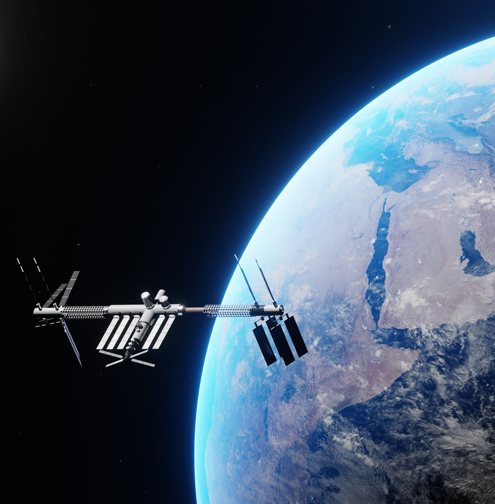
Tourism Impact Model is already set up, well functioned online tool, the innovation, developed with Slovenian knowledge and with cooperation between various stakeholders (real sector from tourism, academia, tourism strategists, etc.). TIM`s biggest challenge is the data collecting process and data accuracy, which can be solved by the integration of Satellite EO data. In the project, air quality indices (ie. CO2, NO, hard particles - PM10) monitored and collected by space satellites will be studied. Based on this information, the project proposal starts in the middle of TRL2 and will in the project duration of 9 months finish TRL3 with the developed Elementary Prototype of the integrated Satellite EO data in TIM. As Satellite EO data simplifies the use of TIM, is more user friendly, makes it faster and strengthens it as a product, it has the potential to attract more users – tourist destinations in the future.
The wider impact of the Satellite EO Data is to use it and to make it an asset for the decision-makers. With TIM, Slovenia can become the lead country in real data strategic planning worldwide.
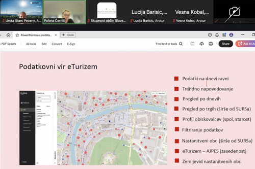
In SD4TIM project we explore the practical use of satellite data by local decision makers through combining the data of Tourism Impact Model with data of air quality and land surface temperature data.
Land surface temperature data was included in the extension of the project in order to:
- Provide LST estimated from EO data used for heat loss detection, which is currently an academic topic, as an operational service.
- Increase the market potential of the tool by testing it on new applications (Zero carbon) with real users, for deep strategic planning.
Preliminary findings
We are finding out that satellite data is extremely important since it is available and can be of great use to local decision makers. The biggest challenge is how to make it easily understandable to them. This is tackled from two directions. Making analysis and interpretation of the data as instinctive as possible and on the other side increasing the knowledge of decision makers to use this information.
The result
Developed an Elementary Prototype of the integrated Satellite Earth Observation data in TIM
Partners:
- Arctur Ltd., Slovenia (lead partner)
- Murmuration-sas, France


